Sam Simon · 18 September 2026
Valley Adolescents Survey Wildflower Linkages Joining Trail Expansions to Protected Habitats
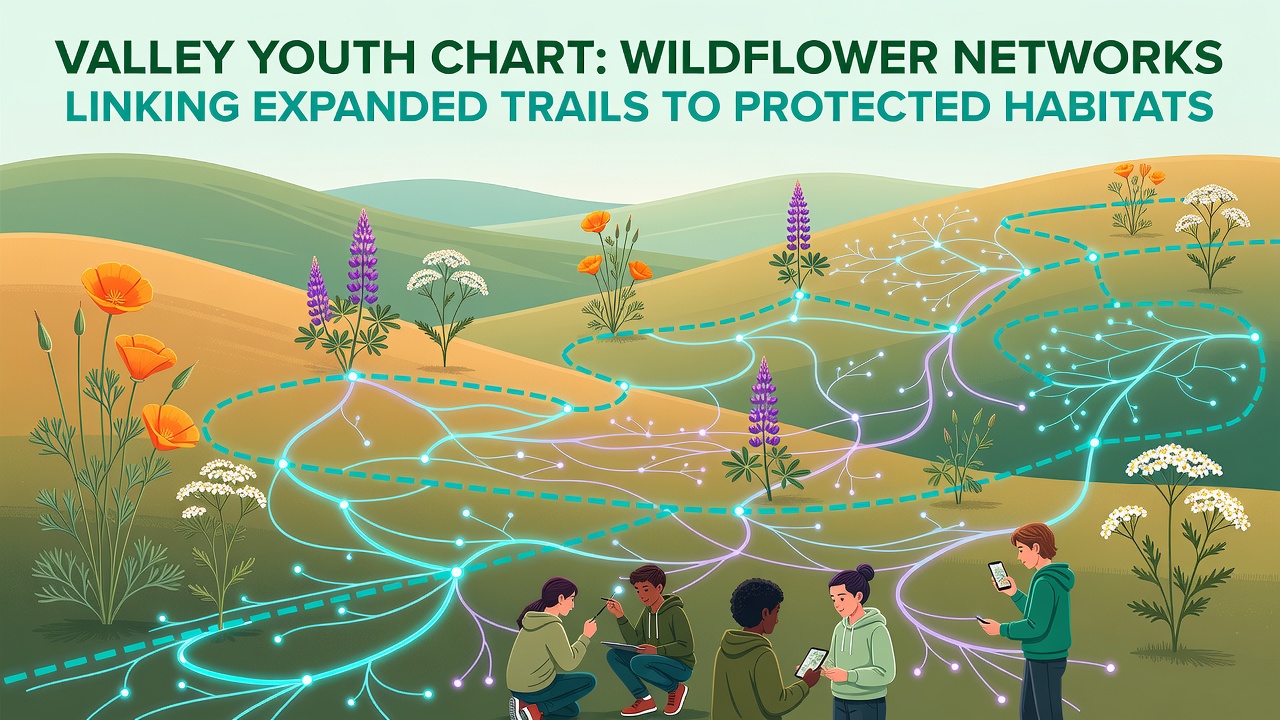
Groups of local young people have taken on the task of documenting wildflower networks that connect newly extended trails with areas set aside for habitat protection throughout the valley region, and their efforts have produced detailed maps that show how these corridors function across seasons. Data collected during field sessions in the spring of 2026 revealed that certain species such as lupine and goldenrod appear along routes where trail widening occurred two years earlier, while observations in September 2026 confirmed that seed dispersal patterns now reach deeper into zones previously isolated from main pathways.
Mapping Methods and Early Findings
Participants divided sections of the valley into grids and recorded plant presence using standardized forms that noted soil type, sunlight exposure, and proximity to trail edges, and they cross-checked results against satellite imagery provided by regional planning offices. One team working near the eastern ridge line found that wildflower density increased by 18 percent in areas where trail extensions created new edges adjacent to fenced conservation land, whereas another group covering the western meadows documented how certain pollinator species followed the same lines that youth charts had predicted months earlier.
Equipment included handheld GPS units, simple transect tapes, and digital notebooks that allowed entries to sync with a shared database managed by the valley conservation alliance. Those records show that 14 distinct wildflower species now appear along segments that link the expanded trail system to three separate protected parcels totaling 240 hectares. Researchers from a nearby university analyzed the first batch of submissions and noted that connectivity metrics rose measurably when trail surfaces remained unpaved for at least one full growing cycle.
Trail Expansions and Habitat Connections
Trail work completed between 2023 and 2025 added roughly 12 kilometers of new path, much of it routed to avoid sensitive zones yet still positioned to serve as bridges between existing corridors. The youth surveys indicate that these additions have allowed wind-dispersed seeds to travel farther than before, and figures from the state department of natural resources indicate that protected habitat patches now register higher species counts along their boundaries than they did prior to the expansions.
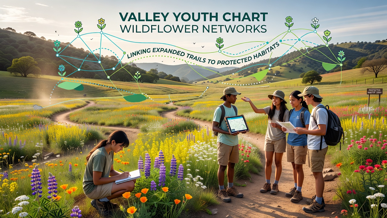
Observers note that the September 2026 data set includes flowering records for late-season species such as asters and goldenrod that had not been tracked in earlier years because the trails had not yet reached those locations. Maps produced by the youth groups highlight three primary linkage zones where trail edges meet protected boundaries, and each zone shows a gradient of plant density that declines with distance from the path itself.
Community Involvement and Data Sharing
Schools in the valley incorporated the charting project into science classes, so students learned field identification while contributing usable records, and local land trusts supplied training sessions that covered safety protocols and data standards. The resulting database has already been accessed by planners who are evaluating whether additional trail segments can be added without fragmenting the remaining habitat blocks, and one report prepared by the alliance cites the youth maps as evidence that linear features can support rather than hinder connectivity when placed thoughtfully.
Additional measurements taken along the same routes showed that soil compaction stayed within acceptable limits on the newest trail sections, and insect counts collected at dusk in September 2026 remained consistent with baseline numbers gathered before construction began. Those findings align with results from similar projects in other regions where young volunteers assisted monitoring efforts.
Conclusion
The work completed by valley youth demonstrates how systematic charting can reveal functional connections between expanded trails and protected habitats, and the September 2026 updates have added precision to earlier maps that will guide future maintenance decisions. Continued collection of seasonal data should clarify whether these networks remain stable over multiple years, and the same methods can be applied to other corridors that link developed paths with conserved land across the broader region.