Alex Lehmann · 16 October 2026
Valley Youth Track Builds Pollinator Corridors That Join Neighborhood Gardens With Remote Reserves
Local youth groups have mapped and planted continuous strips of native vegetation that run from backyard plots straight into larger protected areas several miles away, and the effort now covers more than 40 connected segments across the valley floor. Researchers from regional universities have recorded increased sightings of monarch butterflies and native bees along these routes since the first sections opened two years ago, while GPS-tagged insects show clear movement between urban flower beds and distant meadows.
How the Corridors Were Designed
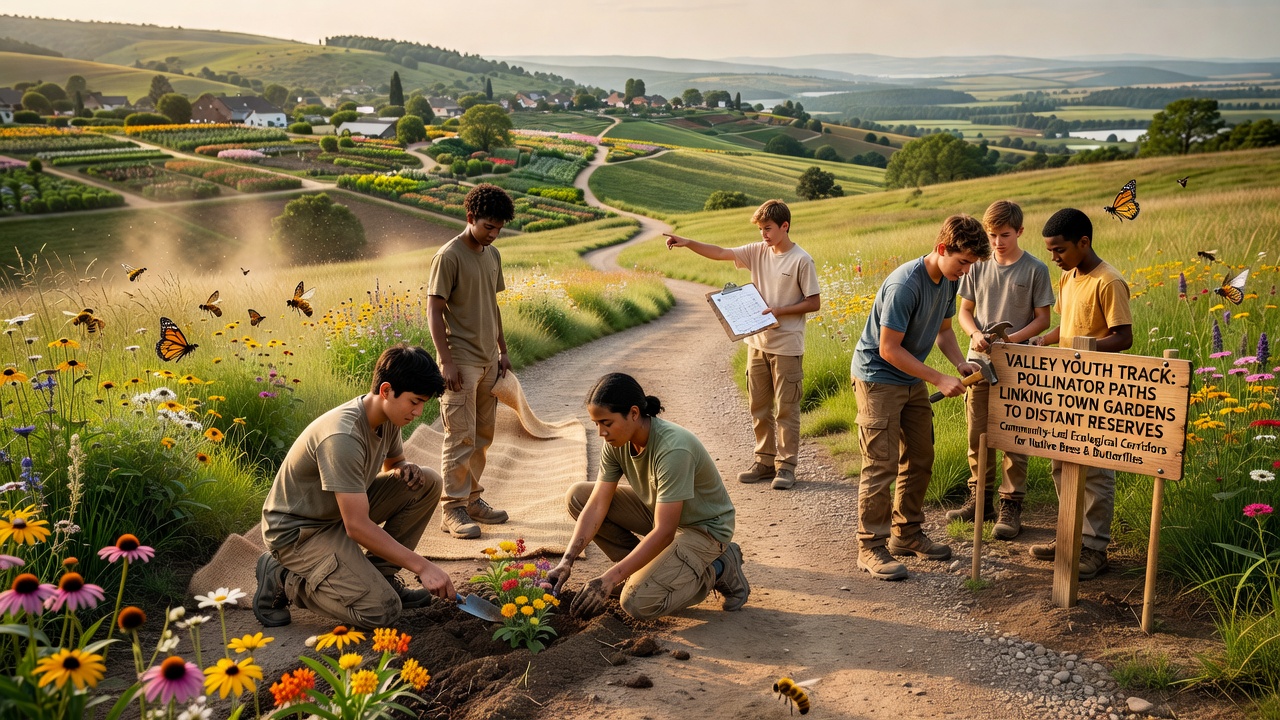
Students from middle and high schools worked with ecologists to choose plant species that bloom at different times, which keeps food available from early spring through late fall, and they spaced the plantings so no gap exceeds 200 meters, the average foraging distance for many solitary bees. Soil tests guided the selection of drought-tolerant species suited to the valley's microclimates, and volunteers installed shallow water stations at regular intervals to support insects during dry spells.
Mapping software combined satellite imagery with ground surveys, and the resulting routes follow existing footpaths, utility easements, and unused roadside verges to minimize new disturbance. One study released in 2025 documented a 28 percent rise in pollinator species richness within the first year after planting, and similar patterns appear in comparable projects tracked by the Xerces Society for Invertebrate Conservation.
Youth Involvement and Training Programs
Participants log hours through a school-based citizen-science platform that records bloom dates, insect counts, and weather conditions, and the data feed directly into regional biodiversity databases maintained by state wildlife agencies. Workshops held each spring teach identification skills and safe handling techniques, while summer internships place older students at reserve field stations where they assist with long-term monitoring.
October 2026 brought an expanded training module focused on nighttime pollinators such as moths, and teams added motion-activated cameras along several corridors to capture previously undocumented visitors. The collected footage has already contributed to a university database that compares urban and rural insect activity patterns.
Connections to Distant Reserves
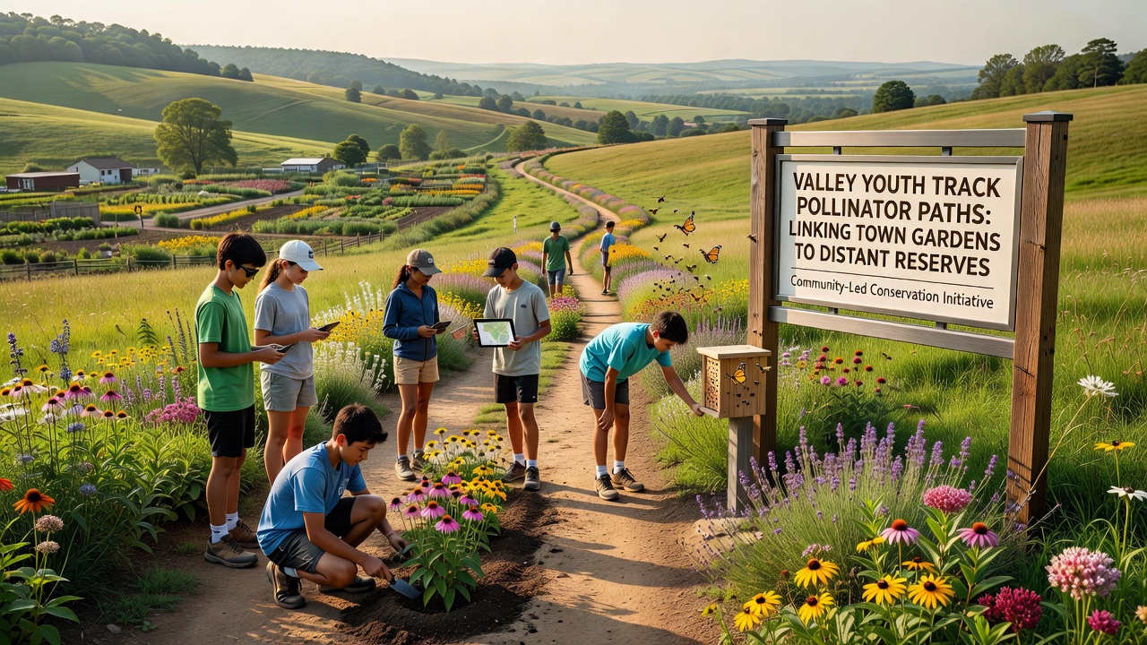
The longest completed route stretches 11 kilometers from a cluster of residential gardens on the valley's eastern edge to the boundary of a 2,500-hectare nature reserve that harbors several at-risk plant communities. Trail markers guide walkers and cyclists, and interpretive signs explain which insects rely on each plant species, turning everyday movement into informal education opportunities.
Reserve managers report that previously isolated habitat patches now receive regular visits from species that were rare five years ago, and genetic sampling of bee populations shows increased diversity consistent with corridor use. A 2024 report from Environment and Climate Change Canada highlights similar connectivity projects in prairie provinces that produced measurable gains in butterfly abundance after three seasons.
Measured Outcomes and Ongoing Monitoring
Camera traps and pan traps placed at 15 locations along the main corridors have logged more than 12,000 individual insects through the 2026 season, and preliminary analysis indicates that 17 species previously absent from town gardens now appear regularly. Soil carbon levels in planted strips have risen an average of 1.3 percent compared with adjacent turf areas, according to samples processed at a nearby agricultural research station.
Local nurseries supply the majority of seedlings through a voucher program funded by municipal green-space grants, and participating households receive annual updates that list the exact plant varieties observed along their section of the route. Data-sharing agreements allow the same information to flow into national pollinator atlases maintained by academic consortia in both North America and Europe.
Future Extensions and Partnerships
Planners have identified three additional corridors that would link the existing network to a federal wildlife refuge located 18 kilometers north, and preliminary permits are under review. Funding for the next phase comes from a combination of foundation grants and corporate sponsorships tied to corporate sustainability reporting requirements.
Cross-border exchanges with similar youth-led projects in Australia have introduced new plant varieties adapted to warmer microclimates, and trial plots now test those species alongside native stock. Continued monitoring through 2027 will determine whether the added species extend the active season for late-flying insects without displacing local flora.
Conclusion
The Valley Youth Track corridors demonstrate how targeted planting along existing linear features can reconnect fragmented habitats while involving young people in data collection and stewardship. Ongoing records show measurable increases in pollinator movement and species presence, and the model continues to attract interest from other communities seeking practical ways to support biodiversity at landscape scale.